
Bell County Neighbors Block Record Coverage
A block question can have a physical, legal, civic, or historical answer. The record choice should match that question. Killeen GIS is useful for parcel geometry, roads, structures, city limits, and flood-hazard context. Bell CAD connects a parcel to an appraisal record and legal description. The County Clerk index can supply recorded plats, easements, declarations, and instruments. Election maps supply precinct and district geography. These sources describe different parts of the same area and should not be combined into a claim that any particular person lives there.
| Source | What it shows about a block | Access |
|---|---|---|
| Killeen GIS | Parcels, roads, structures, city limits, and flood-hazard context in its service area | Public map layers |
| Bell CAD | Appraisal owner display, situs, mailing address, legal description, and parcel identifiers | Public property search |
| Bell official records | Plats, deeds, easements, restrictions, and other dated recorded instruments | Free index discovery; copies or images can differ |
| Bell election map | Precinct, commissioner, justice-of-the-peace, and WCID geography | Public map |
| Historical repositories | Maps, directories, newspapers, or census context for an earlier block | Collection-specific access |
An owner display can identify the party shown on an appraisal record, while a parcel map can show adjacent lots. Neither is a current-occupancy record. A parcel may be vacant, multi-unit, held by a trust or entity, or have a mailing address away from the situs. Keep each label and date visible in the research notes.
Bell County Neighbors in Killeen GIS
The Killeen public parcel layer is the strongest inspected source for the map side of a Bell County block question. Its fields include PROP_ID, PRIMARYADDRESS, HOUSE_NUM, STREET_NAME, STREET_TYPE, STREET_DIR, subdivision name, lot number, block number, abstract information, legal description, ParcelOwner, and FLOODHAZARD. The larger map service also documents parcels, roads, city limits, structures, parks, and council districts. Use the fields as map and parcel keys, not as identity labels.
PRIMARYADDRESS is the parcel layer's main display field. A full street address can still fail if direction, unit, street type, postal city, or historical spelling differs. When that happens, retain the original address and try the street components, subdivision, block and lot, legal description, or PROP_ID. Killeen's layer can connect a map location to a Bell CAD property record, but it is not a title record and may lag a recorded deed or the appraisal roll.
The Killeen parcel-layer service is shown below with its public map context.
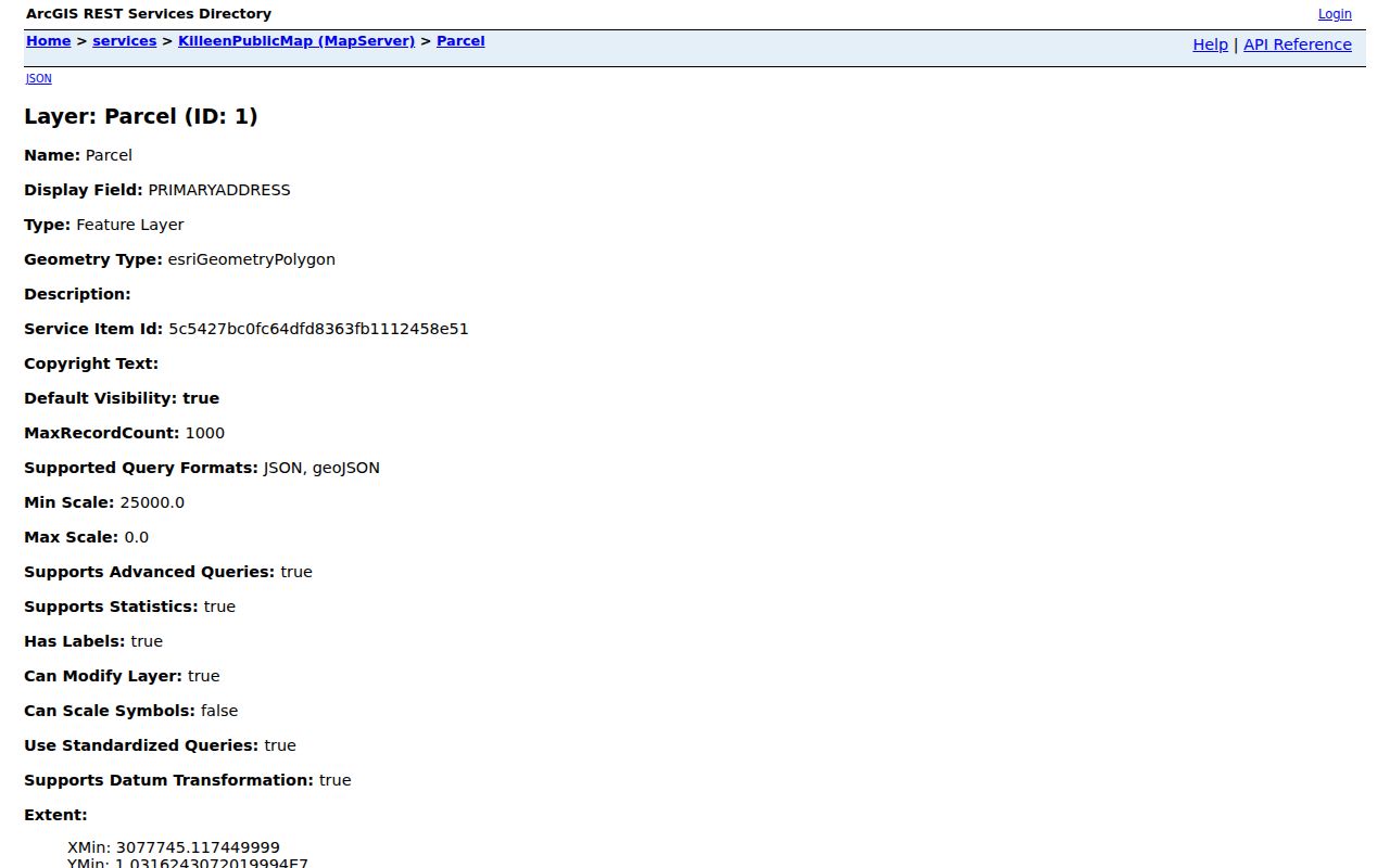
The layer helps establish a parcel's physical setting and record key. It does not show who occupies a surrounding property.
Map a Bell County Neighboring Block
Move outward from one address in a short, documented chain. The goal is to establish land and civic context around the address without producing an individual neighbor list. The exact address, original spelling, and date should be retained before a search is normalized. Near Killeen, Harker Heights, Fort Hood, or a rural route, compare the parcel setting with postal and municipal geography rather than trusting the city printed on a mailing line.
- Verify the delivery line and ZIP through the USPS address lookup, preserving the original line as well as the confirmed form.
- Locate the address in Killeen GIS when it falls inside the viewer's coverage. Record the parcel, nearby roads, city-limit status, and any relevant physical layer rather than people attached to adjacent parcels.
- Capture the target parcel's PROP_ID or use Bell CAD to record the Property ID, Geographic ID, legal description, subdivision, block, and lot.
- For an adjacent parcel or subdivision question, use the legal description in the official-record index to find dated plats, easements, restrictions, or instruments. Record the document number and recording date.
- Use the election map for precinct or district context. For a full named-street record chain, continue with the Bell County street directory instead of expanding this block method into a household roll.
Note: Parcel adjacency establishes a map relationship only; it does not establish a personal relationship, present residence, or shared household.
Bell County Neighbor Parcel Verification
Bell CAD provides the appraisal pivot after a parcel is located. Its search options include owner name, street number, street name, Property ID, geographic ID, subdivision, neighborhood, abstract, property type, and tax year. For a street-name search, Bell CAD instructs users to enter a simple street name without prefix, suffix, or unit. Once the correct property is found, record the stable identifiers before considering the owner display or mailing line.
The most reliable sequence is address to parcel key, parcel key to legal description, then legal description to an official recorded instrument. Bell CAD deed-history rows are useful leads, but the Clerk's official records search is the correct source for a grantor, grantee, document number, recording date, book or volume and page, or the underlying image. A grantee can acquire a parcel, a grantor can convey it away, and an appraisal record can lag a later instrument. Each role needs its own wording.
- Parcel
- A parcel is a mapped unit of land used for appraisal and mapping. It can have a situs address, legal description, and a stable property identifier.
- Situs address
- The situs is the physical location associated with a parcel. It is different from a tax-bill mailing address.
- Plat
- A plat is a recorded map that can show lots, blocks, roads, easements, and subdivision layout.
- Recorded restriction
- A restriction or declaration can identify a subdivision phase, roads, or easements. It is not a public roster of households.
Bell County Neighbors and Civic Geography
Precinct, commissioner, justice-of-the-peace, WCID, school-district, taxing-unit, city-limit, postal-city, and county labels can all attach to a nearby address. They answer geography and service questions, not occupancy. Bell Elections links a searchable ArcGIS map for precinct and district context. Compare that map with the Killeen city-limit layer, Bell CAD data, and a USPS result when a boundary is disputed.
Texas My Voter Portal can confirm an authorized registration through VUID, Texas driver license or ID, or first and last name, but the voter record has public and confidential parts. A registration result is not a block directory. Social Security numbers, state ID details, protected residence information, and other confidential fields must not be copied. A precinct result reports civic geography, while an election result reports an aggregate vote count, not the people who live within the precinct.
Shared Killeen, Harker Heights, and Fort Hood postal patterns make this separation especially important. A mailing label, a ZIP, and a municipal boundary are not interchangeable. Preserve the distinct parcel, postal, city, and precinct values when a record trail crosses them.
Bell County Neighbor Association Records
No official countywide public neighborhood-association or HOA membership directory was located in the Bell County research. That absence matters. City staff directories, chambers, police service forms, and social-media groups are not substitutes for a published association roster. A block should not be reconstructed by collecting private contact names from scattered sources.
| Countywide membership roster | No official public directory was located. Do not infer a roster from city or commercial listings. |
|---|---|
| Subdivision declaration | Search the County Clerk index by subdivision name and document type for recorded restrictions, phases, roads, and easements. |
| Plat or planning record | Use the Clerk, city planning records, or a focused public-information request for an existing map, plat, agenda, or case. |
| Association inquiry | Ask the association or its custodian about its published-record policy without requesting private membership or contact data. |
For a civic question, use the subdivision, council district, WCID, school district, or planning case as the unit of research. For a history question, pair a plat or map with a dated deed, directory, newspaper, or census source. Those routes describe the community without converting it into a directory of private households.
Official Records and Neighbor Tools
Official and commercial categories solve different problems. Official sources identify the custodian, field labels, record date, and access rule. Commercial neighbor-search categories may combine public and republished material, but their source chain, update date, and matching method can be unclear. Neither category should be used to claim that a person currently occupies a parcel without a direct, authorized source.
| Question | Official record route | Commercial category limitation |
|---|---|---|
| Where is the parcel? | GIS parcel layer and appraisal identifiers | Map display may not preserve the source field or update date |
| What land record exists? | Clerk index and recorded instrument | Record image, role, or instrument date may be absent |
| What district serves it? | Election and city boundary maps | May blend postal, tax, and city geographies |
| Who lives there now? | Often not established by the inspected public sources | Names can be stale, mismatched, or republished without context |
Use an official URL, a displayed record date, and a custodian contact before relying on a result. When an online map is not enough, request the specific existing document or map layer from the correct agency rather than asking for a newly compiled block list.
Bell County Neighbors Map and History Context
A block's past can be clearer when map and document dates are paired. For a Temple question, the 1893 Sanborn sheets, a selected city directory, deed or plat chain, and the Temple Daily Telegram can provide dated context. Killeen's military-era growth, subdivisions, annexations, and shared postal geography can break a simple address match. In those cases, subdivision, block, lot, abstract, legal description, Geographic ID, and PROP_ID are stronger keys than a modern street string alone.
The Killeen public map service documents the larger set of parcel, road, city-limit, structure, park, and civic layers.
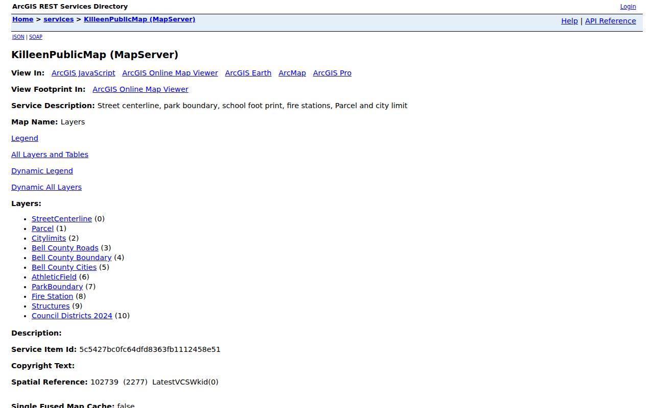
The service provides location context for a Bell County block. A historical claim still needs a dated map, instrument, directory, or repository item that records the relevant period.
Bell County Neighbor Privacy Limits
An adjacent owner is not necessarily an adjacent occupant. A parcel may contain several units, a business, a vacant structure, a trust, or a mailing address outside Bell County. Protected voter addresses, recent vital records, juvenile and victim information, confidential taxpayer material, and unnecessary identifiers must remain out of block research. Do not use a nearby relative, a court attachment, or a deed to infer a protected address.
The Texas Public Information Act provides a route for identifiable existing records, subject to exceptions and redactions. A narrow request for a dated plat, permit, code case, agenda, or map layer is appropriate when the agency holds it. An agency is not required to create a new neighbor list or turn private household information into a public compilation.
Lawful personal use. Use Bell County block records for personal research, property history, civic context, or a direct service question. Never use nearby-address information to stalk, harass, intimidate, or harm another person.