
Bell County ZIP Code Coverage
Bell County uses several postal patterns. The working list below combines official local references and common postal-place assignments in the research. It is a coverage aid, not a downloadable USPS boundary file. Verify any delivery address through USPS before using a delivery ZIP in a record search. The postal-place column is intentionally not a city-limit finding or a named post-office station, because those facts are different and the research did not document station names for every ZIP.
| ZIP | Areas covered | Post office / postal place | Notes |
|---|---|---|---|
| 76501 | Temple | Temple | City delivery; confirm exact address |
| 76502 | Temple | Temple | City delivery |
| 76503 | Temple | Temple | PO Box or limited delivery use |
| 76504 | Temple | Temple | City delivery |
| 76505 | Temple | Temple | Special or limited postal use; verify USPS |
| 76508 | Temple | Temple | Unique or limited use; verify USPS |
| 76511 | Bartlett | Bartlett | City or PO Box context |
| 76513 | Belton; Morgan's Point Resort | Belton | Shared postal geography, not a boundary |
| 76533 | Heidenheimer | Heidenheimer | Limited or PO Box context |
| 76534 | Holland | Holland | City or PO Box context |
| 76540 | Killeen | Killeen | PO Box or limited use |
| 76541 | Killeen | Killeen | City delivery |
| 76542 | Killeen; Harker Heights | Killeen / Harker Heights | Shared ZIP; verify city limits |
| 76543 | Killeen; Harker Heights | Killeen / Harker Heights | Shared ZIP; verify city limits |
| 76544 | Fort Hood; Killeen | Fort Hood / Killeen | Installation and military postal context |
| 76545 | Killeen | Killeen | City delivery or limited use |
| 76546 | Killeen | Killeen | City delivery |
| 76547 | Killeen | Killeen | PO Box or limited use |
| 76548 | Harker Heights; Killeen | Harker Heights / Killeen | Shared ZIP |
| 76549 | Killeen | Killeen | City delivery |
| 76554 | Little River-Academy | Little River-Academy | City or area |
| 76557 | Moody | Moody | City or area |
| 76559 | Nolanville | Nolanville | City or area |
| 76564 | Pendleton | Pendleton | Limited or PO Box context |
| 76569 | Rogers | Rogers | City or area |
| 76571 | Salado | Salado | Village or area |
| 76579 | Troy | Troy | City or area |
The sharpest Bell County overlaps are 76542, 76543, and 76548 across Killeen and Harker Heights. ZIP 76544 carries Fort Hood and military-postal context, while 76513 serves Belton and Morgan's Point Resort. A ZIP-only match is therefore too broad to prove municipal jurisdiction, parcel situs, precinct, or a person's presence at an address.
Verify a Bell County ZIP
The USPS ZIP Lookup is the authority for a current delivery ZIP. Enter the complete street line first, then compare the result with the Bell CAD situs, a local parcel layer when available, and the municipal boundary. If the postal city differs from a city printed on a deed, directory, or map, preserve both as values from different sources. When USPS does not return a result, log the failed lookup and ask the postal service rather than selecting a nearby ZIP by appearance.
USPS address-to-ZIP lookup is the source for delivery verification.
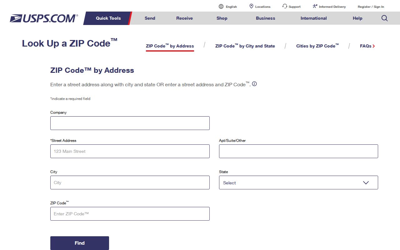
Use the returned delivery ZIP as a postal value. It still needs parcel and map checks before it is described as a Bell County city-limit or jurisdiction result.
- Copy the original address exactly, including direction, street type, unit, rural route, or box detail.
- Run the complete delivery line through USPS and keep the returned postal city and ZIP with the lookup date.
- Compare the street address with the Bell CAD situs and, inside Killeen, the municipal GIS parcel layer.
- Check the municipal city limit and the Bell County precinct map separately when jurisdiction matters.
- Keep the original text, normalized search string, and any unresolved difference in the record note.
Note: USPS is the delivery authority, so retain the lookup date because a postal assignment can change.
Bell County ZIP Search Fields
No documented countywide property, voter, or records portal in the research offers a public browse of private residents by postal area. The ZIP is instead a geography check that helps narrow an address before using an official record. Bell CAD accepts owner, street number, street name, property ID, geographic ID, subdivision, and other property fields, but its documented search controls do not include a ZIP filter. Killeen GIS supplies address and parcel fields inside its municipal service area, not a countywide ZIP search.
| Source | Documented field or input | ZIP-related use | Limit |
|---|---|---|---|
| USPS ZIP Lookup | Complete delivery address | Verifies the address-to-ZIP result | Does not establish parcel, city limit, or occupancy |
| Bell CAD | Street number, street name, property ID, geographic ID, subdivision | Locates a parcel after postal verification | No documented ZIP filter; card is appraisal data, not title or occupancy proof |
| Killeen GIS parcel layer | PRIMARYADDRESS, PROP_ID, HOUSE_NUM, STREET_NAME, legal description | Checks parcel and city-limit context within Killeen | Municipal coverage only; GIS is not a deed record |
| Bell official-records advanced search | Party, date, document number, book, volume, page, legal description, subdivision | Follows a verified parcel through recorded instruments | No documented ZIP field; party entries do not prove current presence |
| Texas My Voter Portal | VUID, Texas license or ID, or name with registrar help | One-person status lookup where authorized | Not a ZIP-wide resident search; protected fields and address suppression apply |
For an address in Killeen, the Bell CAD property search can provide the stable property or geographic identifier, and the Killeen GIS can show parcel, road, and city-limit context. Treat an owner display, recorded party, mailing line, and occupant as different dated roles. None becomes interchangeable because they share a ZIP code.
Find Records by Bell County ZIP
A Bell County postal area can narrow an address question, but it does not create a reliable household list. Start with the delivery address, not a broad name search. The results that follow should be described by source and date: a parcel record may identify a tax-administration owner display; an official-record index may identify a recorded party; a historical directory may identify someone listed for its publication year. Each result needs its own access and privacy limits.
After USPS verification, use the parcel's property ID, geographic ID, legal description, or subdivision to search the right official source. The Bell County advanced records search supports party, date, document number, book, volume, page, and legal-description filters. It can be used to inspect dated instruments after a parcel is identified. When the task shifts to a named street rather than postal geography, the Bell County street directory has the address-record workflow.
Bell County ZIP Boundaries
A USPS ZIP boundary, a Census ZCTA, a city limit, a county line, a precinct, and a parcel situs answer different questions. The Census ZCTA guidance describes ZCTAs as generalized statistical areas built from Census blocks and USPS delivery-route information. They are not exact USPS ZIP boundaries and should not decide municipal or county residence. Use USPS for delivery geography and a parcel or boundary source for legal geography.
Census guidance on ZCTAs explains why a statistical ZIP-shaped area cannot replace USPS verification.
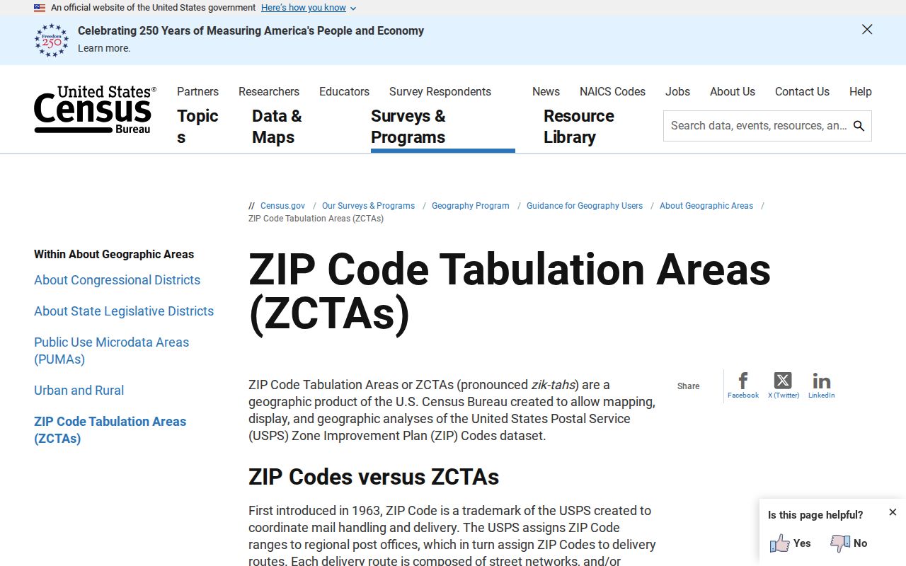
The Census image supports a statistical-geography caution. A complete USPS address lookup remains the proper check for the ZIP serving one delivery address.
Note: A postal city printed as Temple, Killeen, Harker Heights, Fort Hood, or Belton requires parcel and boundary confirmation before it is called a municipal location.
Bell County ZIP Definitions
Postal terms become clearer when they are kept separate from land and government terms. A ZIP routes mail. A parcel situs is the physical property address used by an appraisal record. A precinct is election geography. A city limit is a municipal boundary. A historical place name can reflect an older community, post office, school, cemetery, creek, installation, or subdivision. The same printed address can carry several of these labels without conflict.
- ZIP and ZIP+4
- A ZIP identifies a postal delivery area. ZIP+4 adds routing detail for mail and does not prove a parcel boundary or presence at an address.
- PO Box ZIP
- A ZIP used for post-office boxes or limited postal service. It does not locate a residence or a parcel.
- Unique ZIP
- A special or limited postal use tied to a defined delivery arrangement. Verify the exact address through USPS before assigning its meaning.
- Carrier route
- A mail-delivery grouping used for routing. It is not a municipal boundary, precinct, or resident roll.
- Census ZCTA
- A Census statistical area that approximates ZIP geography for data tabulation. It is not a USPS delivery-boundary file.
Bell County ZIP Geography
For a finished address note, retain the geography in separate fields instead of selecting one label as the whole answer. Bell County election maps can add precinct, commissioner, justice-of-the-peace, and WCID context. Appraisal records add a parcel situs, mailing address, and taxing information. Killeen's public layer includes parcels, roads, structures, city limits, and council districts. A postal city remains delivery geography until an official parcel or boundary source confirms more.
| Field to retain | Best source in the research | What it does not prove |
|---|---|---|
| USPS delivery city and ZIP | USPS address-to-ZIP lookup | City-limit status, precinct, parcel, or occupancy |
| Parcel situs and legal description | Bell CAD property card | Current title or current presence |
| City limit and spatial context | Killeen GIS inside its service area | Survey priority or ownership |
| Precinct and county election geography | Bell County election/precinct map | Individual voter identity or current household composition |
| Historical place name | Directory, map, newspaper, census, or repository record | A direct match to today's address without a documented bridge |
The distinction is especially important near Killeen, Harker Heights, Fort Hood, and unincorporated Bell County. A military mail line, shared ZIP, rural route, or PO Box needs its own source label. Do not replace an older address with a modern street number unless a map, plat, legal description, or other dated evidence supports the bridge.
Bell County ZIP History
Historic research often starts before a current ZIP code existed or before a street had its current name. Bell County's address evidence may refer to an old rural route, a Temple post office, a Camp Hood tract, a subdivision, a block and lot, or an abstract and survey. Preserve the original text, make a separate normalized search string, and describe any interpretation as an interpretation. Current GIS base maps may not depict an 1893 Temple street exactly.
For a historic bridge, pair a period directory or newspaper with the 1893 Temple Sanborn map, a plat or legal description, and a current parcel layer. Camp Hood acquisition and later subdivision growth may have changed roads and postal geography. That sequence is more reliable than guessing from a current ZIP alone.
Note: An old address needs a documented bridge to current geography, not just a similar street name.
Bell County ZIP Access
Use the right access channel for the question. USPS verifies delivery. Bell CAD supplies a parcel pivot. Killeen GIS supplies municipal map context. The County Clerk's official records index supplies recorded-instrument metadata and images through its stated workflow. Bell Elections supplies precinct and election geography, while the Texas Secretary of State's voter service is a controlled person-specific lookup with protected fields. A public-information request under the Texas Public Information Act, Government Code chapter 552, seeks identifiable existing records; it does not require an agency to create a ZIP-wide resident list.
Report what a source actually supports: postal delivery, parcel geography, recorded party, historical listing, or precinct. Keep access restrictions, redactions, and no-result searches in the note. Texas voter and vital-record rules protect sensitive identifiers and may suppress addresses for eligible participants. Postal, city, county, precinct, and parcel labels remain distinct even when an address is familiar.