
Bell County Previous Residents by Era
Past residents are best traced with records that overlap in time. Begin with the era nearest the question, then move out only when the address or legal description continues to match. Bell County’s official-record portal does not publish its oldest online property range, so an early-date gap should lead to a Clerk inquiry, an image or certified-copy request, and historical repositories rather than a claim that no earlier instrument exists.
| Source | Years or era | Where held | What it can show |
|---|---|---|---|
| Bell official records | Online oldest property range not published | Bell County Clerk and public-records portal | Recorded instruments, parties, legal descriptions, dates, and image status. |
| Bell CAD sample roll history | 2016–2025 on the inspected sample | Bell Central Appraisal District | Appraisal fields, parcel identifiers, and dated roll history. |
| Temple directories | 1911; selected years through 1993 | Texas State Library and Archives | Dated name, address, phone, spouse or household notation, and related listing fields where printed. |
| Killeen directories | 1963, 1982, and 1990 | Texas State Library and Archives | Three documented Killeen address snapshots. |
| Federal census | 1850–1950 for Bell research | National Archives access and research repositories | Household, relationship, age, birthplace, and enumeration context on the census date. |
| Temple Sanborn and local press | 1893 map; newspaper collection mainly 1900s–1920s | Library of Congress and UNT Portal to Texas History | Building, street, land-use, notice, and community context. |
| Camp Hood landowner binder | 1942 | Bell County Historical Commission | Federal acquisition landowner abstracts, acreage, price per acre, and dates. |
Use the source description as the claim boundary. A deed documents a transaction, an appraisal card supports an appraisal field, a directory supports a listing at its publication date, and a census supports a household on its enumeration date. None alone creates a continuous address history.
Bell County Records for Past Addresses
The Bell County official-record application is the main discovery layer for instruments tied to a prior address. Its Index Only scope searches recorded metadata such as parties, document types, and subdivisions. Index & Full Text also searches OCR from image text. OCR is useful for a phrase or land term, but an image must be checked because names and legal descriptions can be misread. An index result is a lead until the underlying instrument and its role are reviewed.
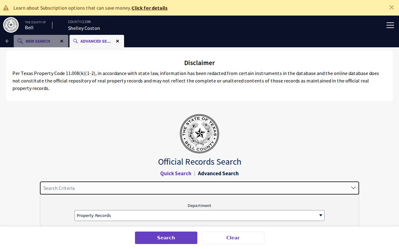
The advanced Bell County records search offers grantor and grantee, date, document number, book, volume, page, legal-description, subdivision, section, condominium, and image-text filters. Search both party roles and the legal description. A street number can change, but a subdivision, block, lot, abstract, or survey may hold the trail together.
The advanced records source provides the starting screen for a prior household search.
Record the chosen search scope, filters, instrument number, recording date, parties, legal description, and image status. Those details make a later request reproducible.
Trace Bell County Property Records Backward
A chain of title is a sequence of recorded transfers connected by the same legal tract. Start with the current Bell CAD card only as a parcel and appraisal lead. Its owner display may be stale, may show several parties, and may use a mailing address that is not the situs. For title-level questions, inspect the official instrument sequence or obtain a certified copy through the Bell County Clerk.
- Find the current parcel in Bell CAD and copy its Property ID, Geographic ID, situs, legal description, subdivision, block, lot, tax year, and last-roll information.
- Use the legal description, document number, or parties in the official-record index to locate the latest relevant deed. Read the image when available and note its recording date.
- From that instrument, search the prior party in the opposite role and repeat the legal-description search. A current grantee may be a prior grantor in a later transfer, so roles and dates matter.
- Log every deed, plat, release, lien, deed of trust, or easement as its own event. Do not treat a financing or utility instrument as a transfer.
- When the online index does not reach the needed period, ask the Clerk for the specific earlier book, volume, page, image, or recorded-instrument search path. Mail, email, hand delivery, and approved fax/web methods are documented for public-record requests.
- Grantor
- The party transferring an interest named in a recorded instrument.
- Grantee
- The party receiving an interest named in a recorded instrument.
- Chain of title
- The documented sequence of transfers for a legal tract, not a conclusion about who used the address.
- Legal description
- The subdivision, lot, block, abstract, survey, or tract description used to identify land in records. It often survives a street-name change better than an address line.
- Criss-cross directory
- An address-first arrangement of a dated directory that can place a listing under a street address rather than under a surname.
- Enumeration district
- The geographic area used by census takers. It helps place a household in the census record for that census date.
Bell County Address Bridges for Past Residents
For an older tract, begin with the legal description rather than a presumed modern street line. Pull the CAD card and map ID, identify the subdivision and lot or the abstract and survey, then look for the earliest accessible plat or deed and later conveyances. A plat can be more useful than a deed when translating a tract into later roads because it may show lots, easements, and road names.
Preserve the original address alongside a normalized search form. Test directions, full and abbreviated street types, unit or lot fields, rural routes, subdivisions, block and lot, abstract or survey, and parcel identifiers. Do not erase a historical spelling to make it look modern. A failed exact search is part of the record trail and can help distinguish a coverage gap from a genuine mismatch.
Bell County has shared Killeen and Harker Heights ZIP areas, Fort Hood postal conventions, and rural addresses that do not fit a simple city label. Verify the delivery address through USPS, then compare it to the CAD situs, a relevant GIS parcel layer, city limits, and the recorded legal description. A Census ZCTA is a statistical area, not a USPS delivery boundary.
Camp Hood and Bell County Records
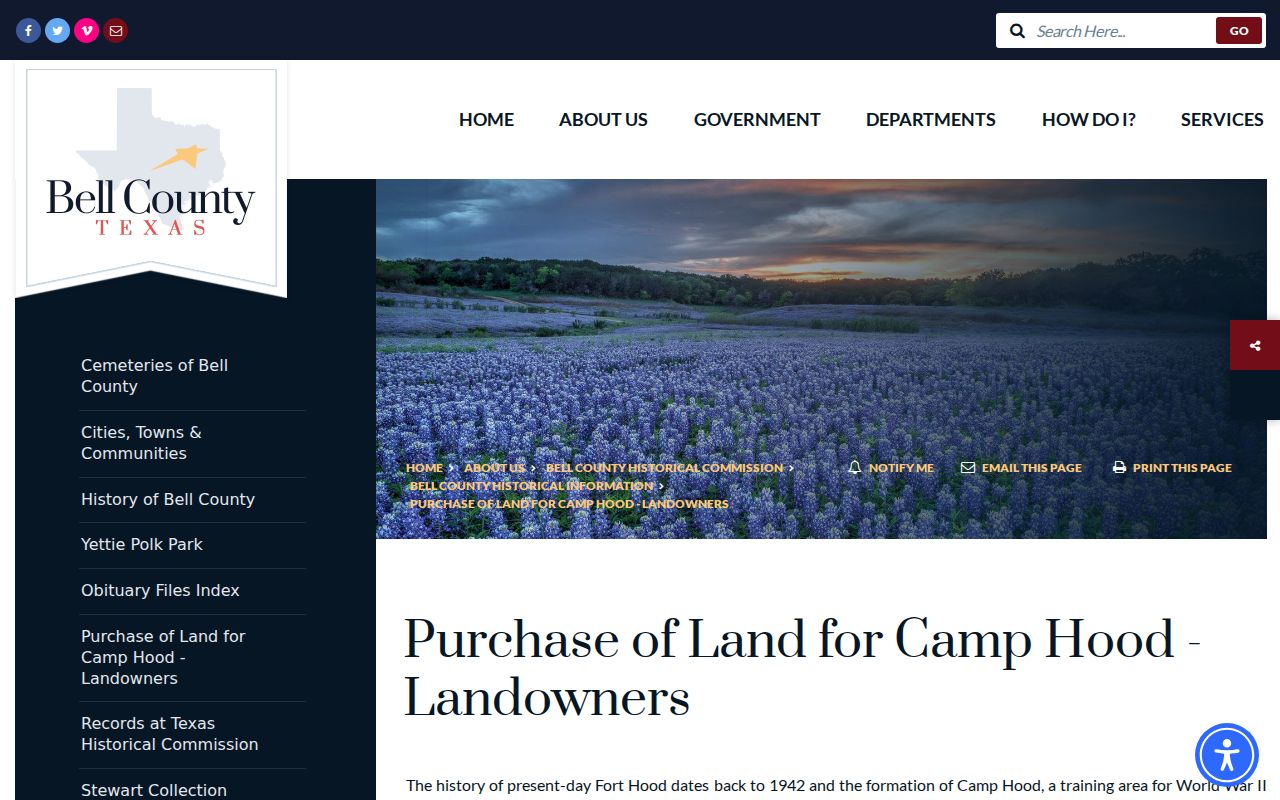
The 1942 Camp Hood acquisition record is a distinctive Bell County land-history source. The Bell County Historical Commission’s alphabetized binder reports federal acquisition landowners, acreage, price per acre, and dates. It can place a named landholder in a documented acquisition event. It cannot show who lives at a present address, nor can it connect a family to a modern parcel without a matching abstract, survey, legal description, or recorded plat.
The Camp Hood landowner collection supplies the historic acquisition pages.
Military installation growth, later roads, subdivisions, and changed postal geography can break a direct address match. Retain that gap until land descriptions and dated maps bridge it.
Bell County Records for Past Households
Deed chains identify property transactions, while directories and census schedules can add the household layer for a particular time. Texas State Library and Archives holds Bell-area volumes in its Austin Reference Reading Room and does not conduct phone searches or routinely scan and email entries. The documented Temple run includes 1911, 1924–25, 1951–52, 1954, 1960, 1962, 1965–1986, 1987–88, and 1989–1993. Killeen holdings are 1963, 1982, and 1990. No dedicated Belton run was located on that holdings page.
Pair each directory year with the nearest census, then test the street or legal description against the deed trail. Directory entries may include a name, spouse or household label, street address, telephone, business address, ownership notation, city, page or volume, and publisher. They are editorial annual snapshots with gaps. The details of the volumes belong with the Bell County city directory holdings reference, while the address trail stays focused on matching one location over time.
- Choose the directory year closest to the address question and record the city, publisher, volume, page, and address exactly as printed.
- Compare the next available directory year, retaining both results even when initials, street forms, or a household label changes.
- Check the nearest public census for household and enumeration context, then retain the census date rather than assigning it to another year.
- Use the CAD parcel, plat, or recorded legal description to test whether the historical street line belongs to the same tract.
- Mark the result as an address listing, historical household, recorded party, or unresolved match. Those categories should not be merged.
Bell County Records in Maps and News
Maps and newspapers can explain a building or neighborhood between a deed and a directory listing. The Library of Congress holds the April 1893 Temple Sanborn set, eight sheets that show building footprints, streets, use, and fire-insurance context. The sheets do not name every household. Pair a Sanborn location with a directory, newspaper, census, or instrument before assigning a person to a place.
The UNT Temple Daily Telegram collection has 4,628 digitized items, mainly from the 1900s, 1910s, and 1920s. Browse by date and search surname variants, initials, street names, property notices, obituaries, civic events, and Camp Hood references. Newspaper OCR can miss names and a printed notice can contain errors, so corroborate useful details.
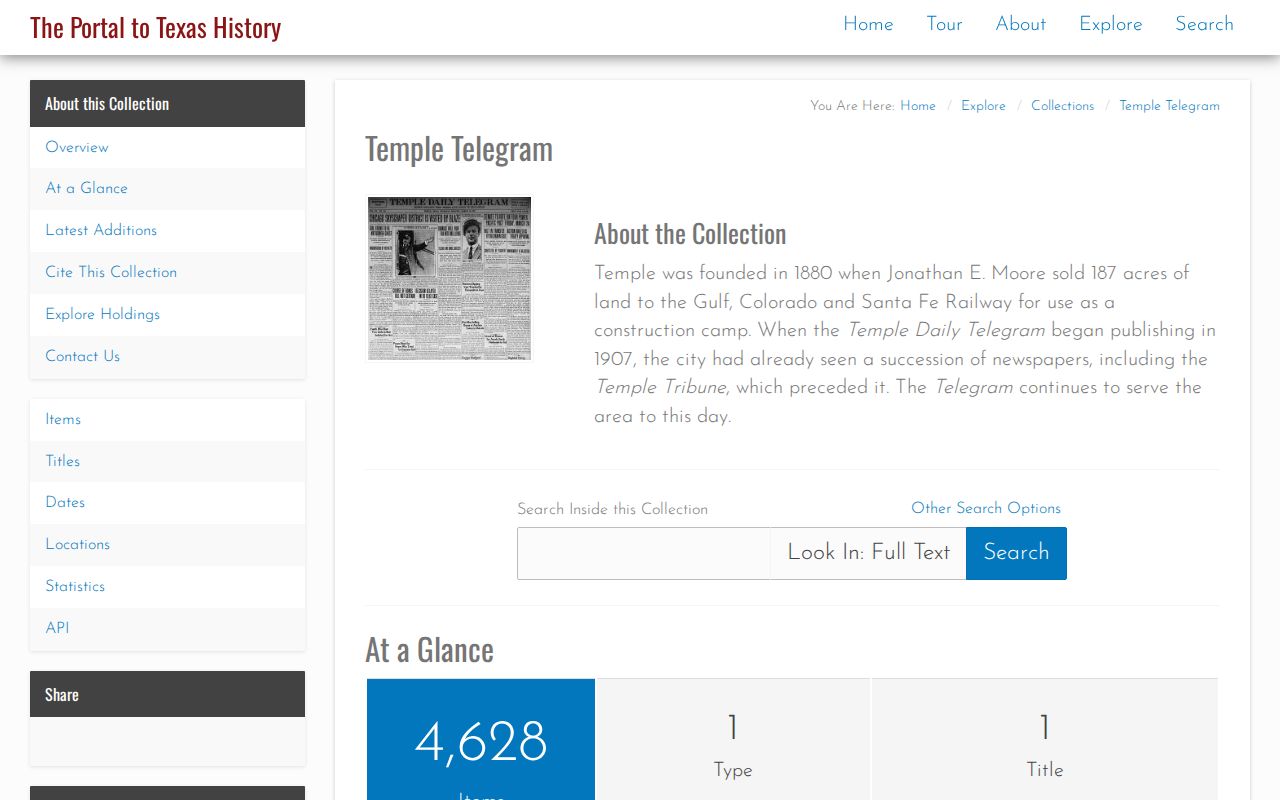
A date, page, title, and source type turn a newspaper result into a traceable historical lead rather than a loose name match.
Bell County Records Research Rooms
When an address trail goes offline, use the repository path. The Bell County Museum Research Library at 201 N. Main in Belton holds Central Texas genealogy, maps, cemetery, family, Salado-history, and research materials in-house. Call or email before a visit to ask about an address, variant spellings, approximate years, a subdivision or street, access, and copying rules.
The Bell County Historical Commission maintains county history, cemetery, obituary, courthouse, and Camp Hood pathways. Its Belton Journal obituary index covers 1913–1967 in alphabetic file ranges, but an index hit is not proof of an exact address or relationship. Request the underlying copy and check it against a directory, census, instrument, cemetery source, or newspaper. The Bell County Genealogical Society and TXBell provide additional local discovery paths, while the archival or original record remains the stronger confirmation.
Note: A repository’s lack of an online result should be recorded as an access limitation, not treated as proof that the address had no prior history.
Bell County Records and the Courthouse Story
Bell County’s courthouse history helps explain why Belton remains the legal-records pivot. The county was created in 1850. Its first courthouse was a two-room log cabin in 1851, followed by another in 1858. In November 1883, commissioners authorized bonds and tax for a new building after the existing repository was considered unsafe for county records. The limestone courthouse was built in 1884–85 and accepted in 1885.
That story is context, not proof about any one address. For an actual property or household conclusion, return to the recorded instrument, directory, census, newspaper, map, or repository item that names the place and date. The County Clerk’s present portal, copy routes, and Texas Public Information Act process are the practical paths when a historic record needs official confirmation.
Bell County Records Privacy Limits
Historical address research should describe old records without turning them into a profile of living people. A current appraisal owner can differ from a past deed party, a directory line is only a dated listing, and a census is a snapshot. Recent birth and death records have access limits, juvenile records are confidential, and protected voter or court addresses remain restricted. A public URL does not remove the need to omit unnecessary personal identifiers.
For a withheld record, distinguish among not public, not located, not held by that custodian, portal unavailable, and request not yet made. The Texas Public Information Act allows specific requests for existing public records, but it does not compel a custodian to create an address dossier or disclose protected information.
Weighing Bell County Record Evidence
The strongest historical bridge has an exact parcel ID and the same legal description across sources. A map can suggest location, a street name can supply a clue, and a surname can generate a lead, but none carries the same weight. Keep a row for each era with source date, name as printed, address as printed, normalized address, role, city or postal place, legal description, parcel ID, confidence, and any unresolved conflict.
If a directory names one household and a deed names another party, preserve both rather than deciding that one must be wrong. The directory may capture a dated listing, while the deed records a transaction. If an old route cannot be connected to a present parcel, say that the bridge is unproven. Careful labels make the Bell County address-history trail useful without overstating what the evidence can show.